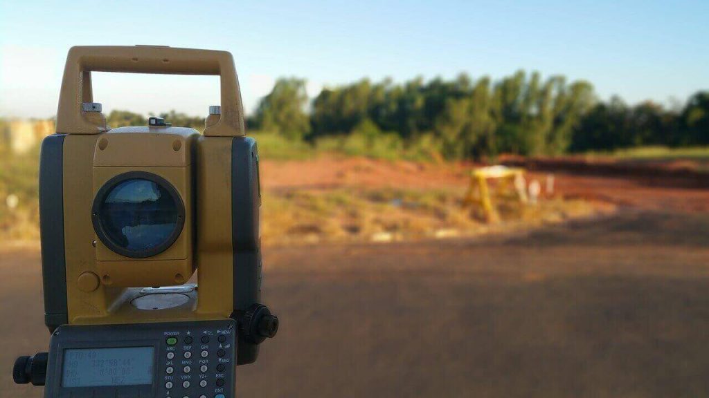
Satellite based navigation systems (SatNav) – these are positioning systems that are based on satellite technology which can deliver real time positioning data to a receiver. The end user segment of this system receives processed data therefore minimizing computations on the client side, among the amazing capabilities of this system are: Positional coordinates, distance, areas and volumes. In addition to this map projections which were previously impossible to do in real-time due to heavy computational demands can be done with a click of a button; thanks to this system it is possible to obtain the position of a point in multiple ellipsoids, datums and projections. Real Time Kinematic (RTK) capabilities also became possible where coordinates can be determined instantaneously, with this capability kinematic data such as speed and acceleration can be determined
SatNav developments can be either Global meaning they cover the whole earth or regional where they cover specific regions of the earth
The Global SatNav systems are:
GPS-Developed by the USA
GLONASS-Developed by Russia
BIEDOU-Developed by China
GALILEO-Developed by EU
The Global SatNav systems are:
IRNSS-Developed by India
QZSS-Developed by Japan
CORS-Continuously operating reference station uses a permanent base station set up on a known point that is always transmitting positional data to a rover(s), the basic concepts of SatNav are still in use on this system. CORS networks gain more accuracy as the base stations are increased, these systems have made surveying easier and more accurate
GIS-Geospatial Information Systems are a combination of Computers (hardware and software) as well as data to manage spatial data
Web mapping-This is a technology that uses a network of servers to deliver maps to clients online. An example of a web map is Google maps
Remote sensing and Photogrammetry-These are data collection methods for high resolution imagery of the surface of the earth