
Surveying has really evolved from the old classical methods to advanced hi tech methods
- Chain-This was the primary distance measuring tool in classical surveying, today chains are rarely used due to replacement by more advanced tools and methods like GNSS and Total stations
- Theodolite-This is also a classical surveying tool used to measure angles, it has also been replaced by other advanced tools such as GNSS and Total stations
- Level-This is the primary tool in surveying for measuring heights and elevations, its applications include engineering surveying, mining surveying among many other areas of surveying
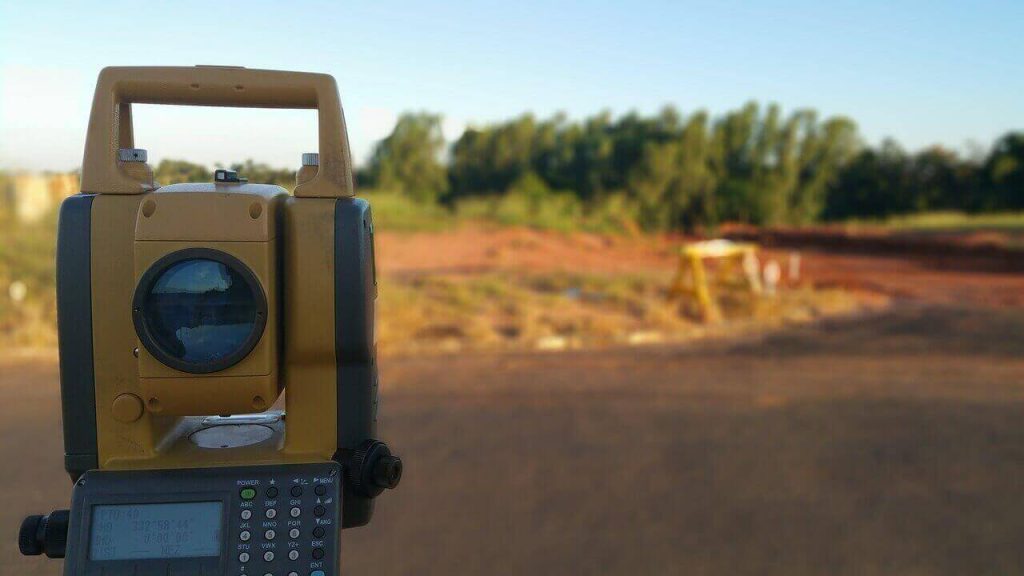
- Total station– This is the most important tool in surveying for measuring both angles and distances, modern total stations are fitted with digital circles for measuring both horizontal and vertical angles as well as electronic distance measurement (EDM) devices for measuring distances
- GNSS-Global Navigation Satellite Systems is the most modern and advanced method of surveying. GNSS provides point coordinates for any location with just a click of a button hence providing easy and direct measurements. All other survey measurements such as distances, areas, volumes, angles, bearings, projections can be computed from these coordinates. Another revolutionary capability of GNSS is Real Time Kinematic (RTK) capabilities where coordinates can be determined instantaneously, with this capability it is possible to determine kinematic data such as speed and acceleration