
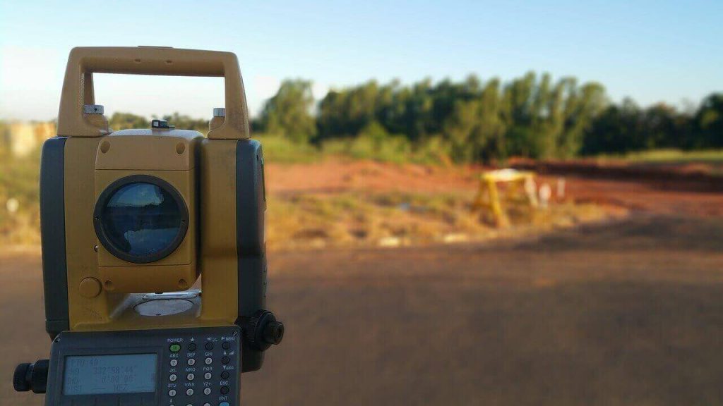
Property surveying involves measurement procedures done on real property for the purpose of getting to know spatial dimensions of the property in question; these measurements are location coordinates, distances, areas and levels
Property surveying is done for the following reasons:
- Property development-It is always important to carry out property surveying before developments on land to ensure correct boundaries are determined. For example, before building a house on a plot it is important to establish the correct location of the plot as registered in the Ministry of Lands and physical planning
- Subdivision-Property surveying is done prior to subdivision of a property/land to verify the correct measurements and thereafter subdivide it according to approved PDPs. The parcel being subdivided is called the mother plot while the newly created parcels are called child plots; excision of roads and wayleaves is also done as part of subdivision
- Successions-Property surveying is carried out as part of the requirements for successions, this is done in accordance to the will of the owners and requirements of the Kenyan law
- Boundary surveys-Boundary surveying is an important part of property surveying, it involves precise location of land limits and extents to help detect encroachments by neighboring developments
- Development planning/zoning-Property surveying is also done to implement approved development plans (DP) and part development plans (PDP). This is a requirement for land use in accordance to physical planning laws as stated in the Kenya constitution
- Transfer of property-Property surveying is carried out as part of the requirements for property transfer, this ensures that each property being registered to a new owner bears geospatial location data and correct measurements
- Sectional properties-Property surveying is done to include sections of larger properties for registration, these include office suites, apartments and godowns
- Utility wayleaves-These involves surveying of utility spaces which contain utility facilities that enable properties become livable, utilities can be overhead or underground
- Dispute resolution-Using surveying techniques to determine boundary points for land, encroachments can be solved through consensus between parties. If the parties continue to disagree these disputes may end up in court
- Valuation-Property surveying is also done for the purposes of valuation, this ensures the property in question for valuation is the right one
- Compensations– Property Surveying can also be done for the purpose of compensations, this is done after valuation has been completed