Hydrographic Surveying
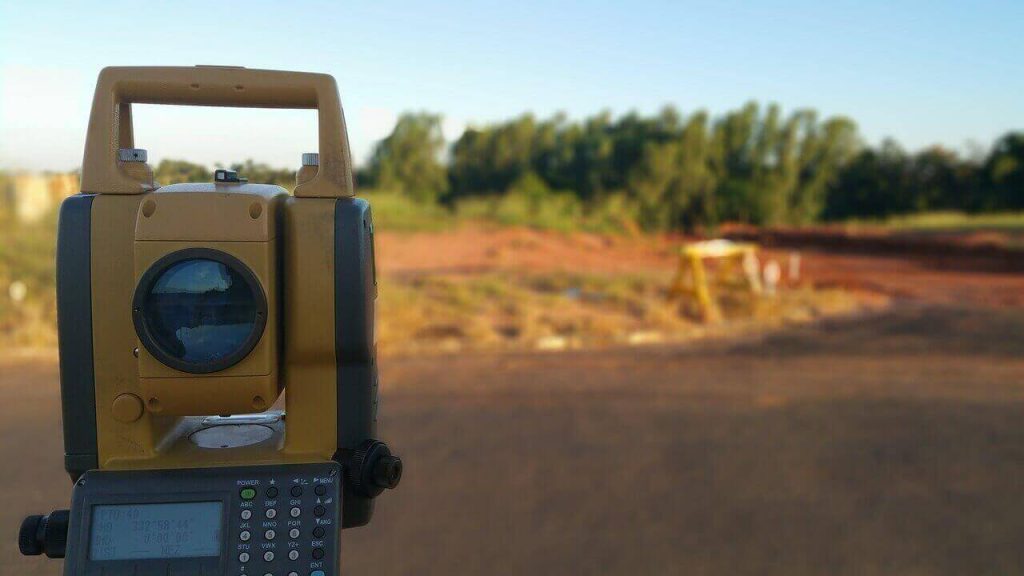
Hydrographical surveying just like topographical surveying is carried out to determine 3D measurements with the intent to depict bathymetry for mapping and applications in engineering works. The map plotted from this data is called a hydrographic chart where elevations are represented as contours and soundings.
Hydrographic Surveying Read More »

