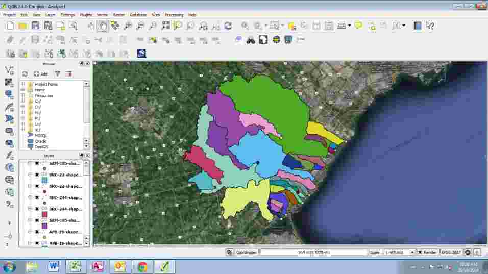
Geospatial Information Systems Call us 0723 458 380 Geospatial Information Systems We offer Geospatial Information Systems (GIS) services for operations requirements by governments, organizations and business enterprises. Uses include representation, management and analysis of the spatial environment. See More customizing hardware, software and networks. See More transformations for GIS See More geospatial data management See More representation and application in GIS See More analyses required in GIS. See More presentation over the web. Get Your Consultation Need assistance in title processing, beacon search, land subdivision or boundary search? 0723 458 380 Book Appointment 0723 458 380