PROJECTS - BEAM POSITIONING SYSTEMS

Our Projects

Recent Projects

We have worked on golf courses, estates, web maps and much more.

Topographic And Hydrographic Surveying

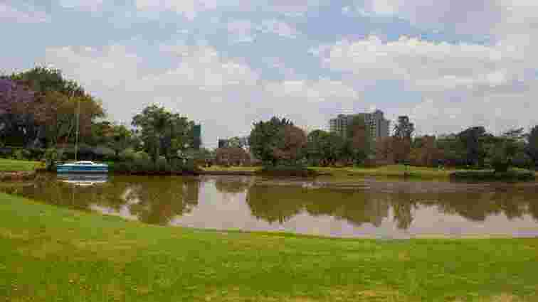
Muthaiga Golf Course Survey

This project involved surveying and mapping of Muthaiga golf course features that included golf course fairways, bunkers, greens, hazards and buildings.

A topographic and hydrographic surveying was carried out for elevations and dam floor mapping.

Residential & Commercial Property survey

Matuu Estate Development Survey

This was a residential and commercial development project situated Matuu, Machakos county started in 2019.

The project involved re-establishment of land parcel beacons, topographic surveying, setting out buildings, survey of water pans and sewer systems.

WebGIS And Web Mapping

Building A WebGIS For Laikipia County

This project was done in 2019 in collaboration with The University of Nairobi. 

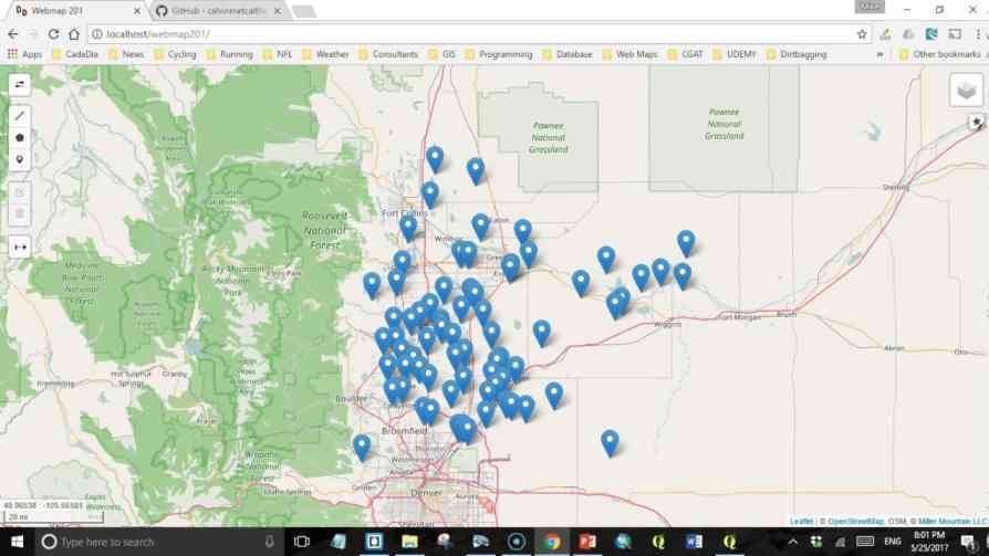
It was part of a prototype model designed to demonstrate how web mapping and webGIS can be used to manage geographic resources and provide GIS services to the public by of Laikipia county.

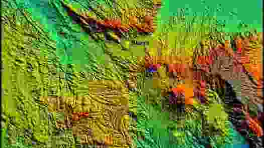
Elevation Modelling For Run-Off, Erosion And Deposition Analysis

Elevation Modeling Mbeya Region Tanzania

This project was done for surface modelling to visualise the topography, simulate run-off water and determine volume of soil erosion. 

The aim was to use this data for physical planning.

We Provide the Best Service in The Surveying Industry

Need assistance in title processing, beacon search, land subdivision or boundary search?

0723 458 380