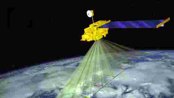
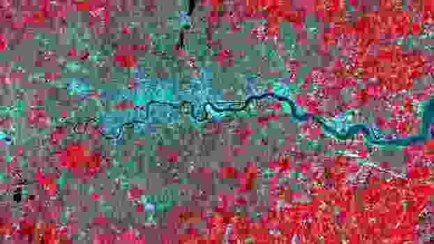
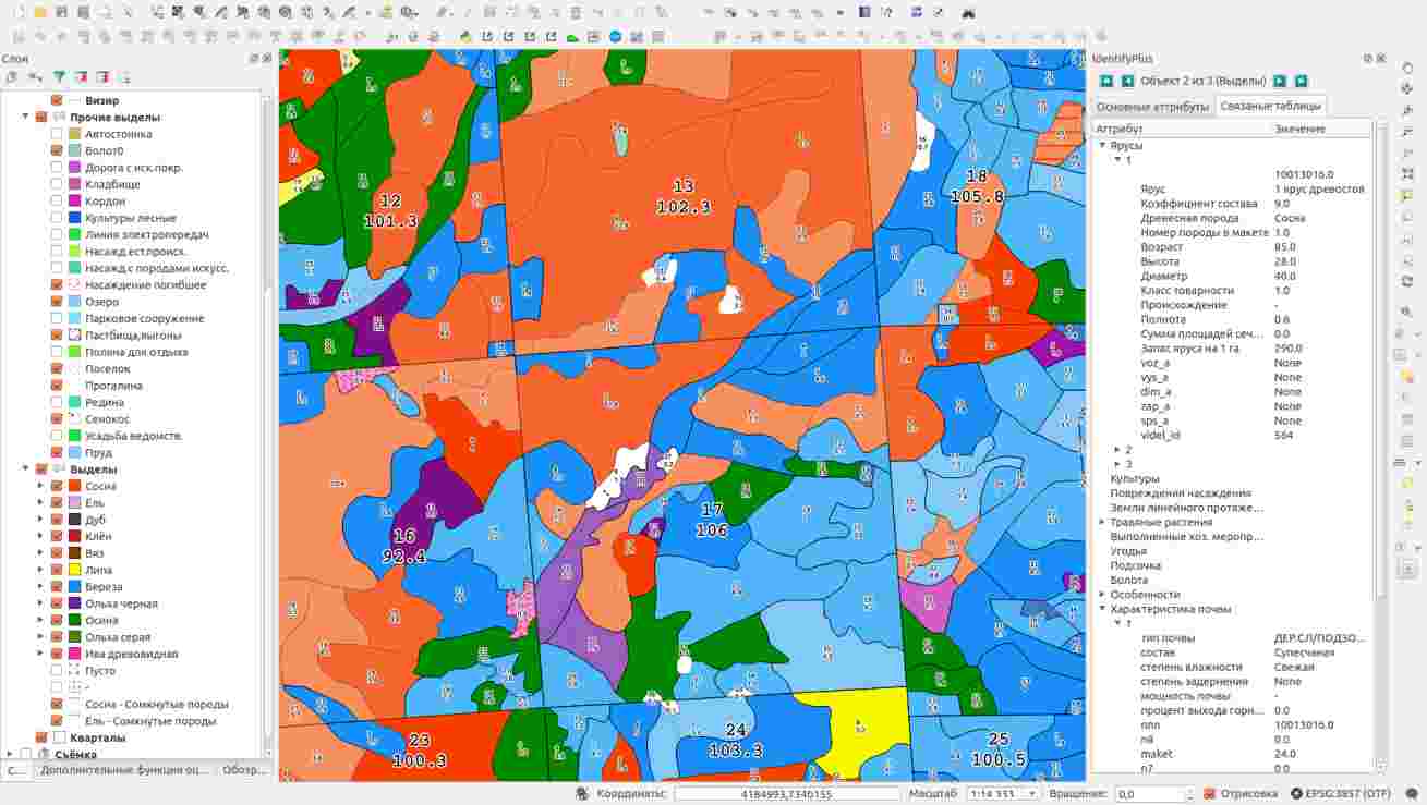
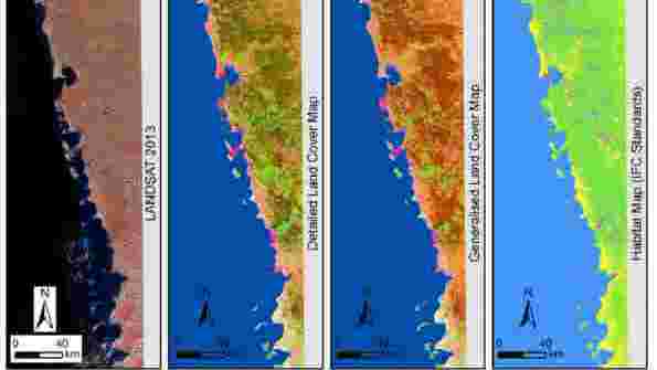
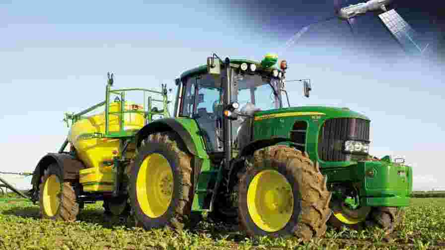
Remote Sensing Call us 0723 458 380 Remote Sensing We offer Remote Sensing (RS) services which provide an excellent source of data for wide area surveys at affordable costs while providing high quality data. See More data based on project requirements. See More from remote sensing images. See More images for cartography and mapping. See More information on the spatial environment. See More Topography, Water resources, Environment. See More data management and widen the scope of data sources. Get Your Consultation Need assistance in title processing, beacon search, land subdivision or boundary search? 0723 458 380 Book Appointment 0723 458 380