
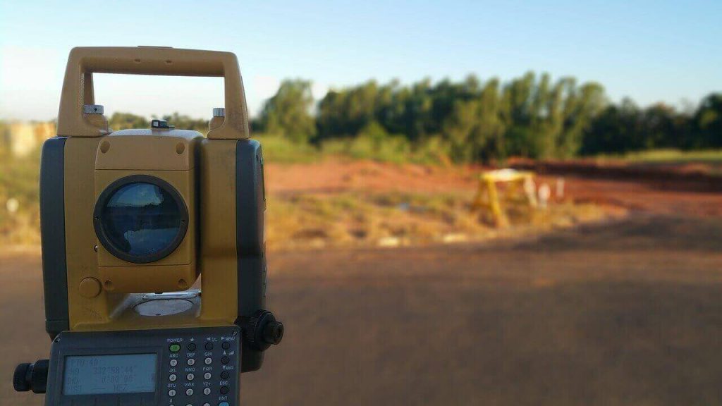
Land Surveying
It is a science and profession of measuring and representing objects on the surface of the earth in both 2D and 3D. Its main application is mapping, engineering and GIS Categories of Land surveying include: property surveying, engineering surveying and hydrographic surveying Land based objects/structures measured as part of land surveying include parcel boundaries, roads, […]